 Detailed Timetable
Time is in Italian local time: CEST (Central European Summer Time) UTC/GMT +2 hours
- Orals: each time slot for regular orals is 15 minutes, including questions.
- Short orals: each time slot is 8 minutes, with no questions; the same content will be presented as a poster in the same day, during the extended lunch break.
- Posters: poster boards have vertical orientation! Maximum width is 95 cm (height about 120 cm)
Go to: Monday - Tuesday (field trip) - Wednesday - Thursday - Friday (hands-on workshops)
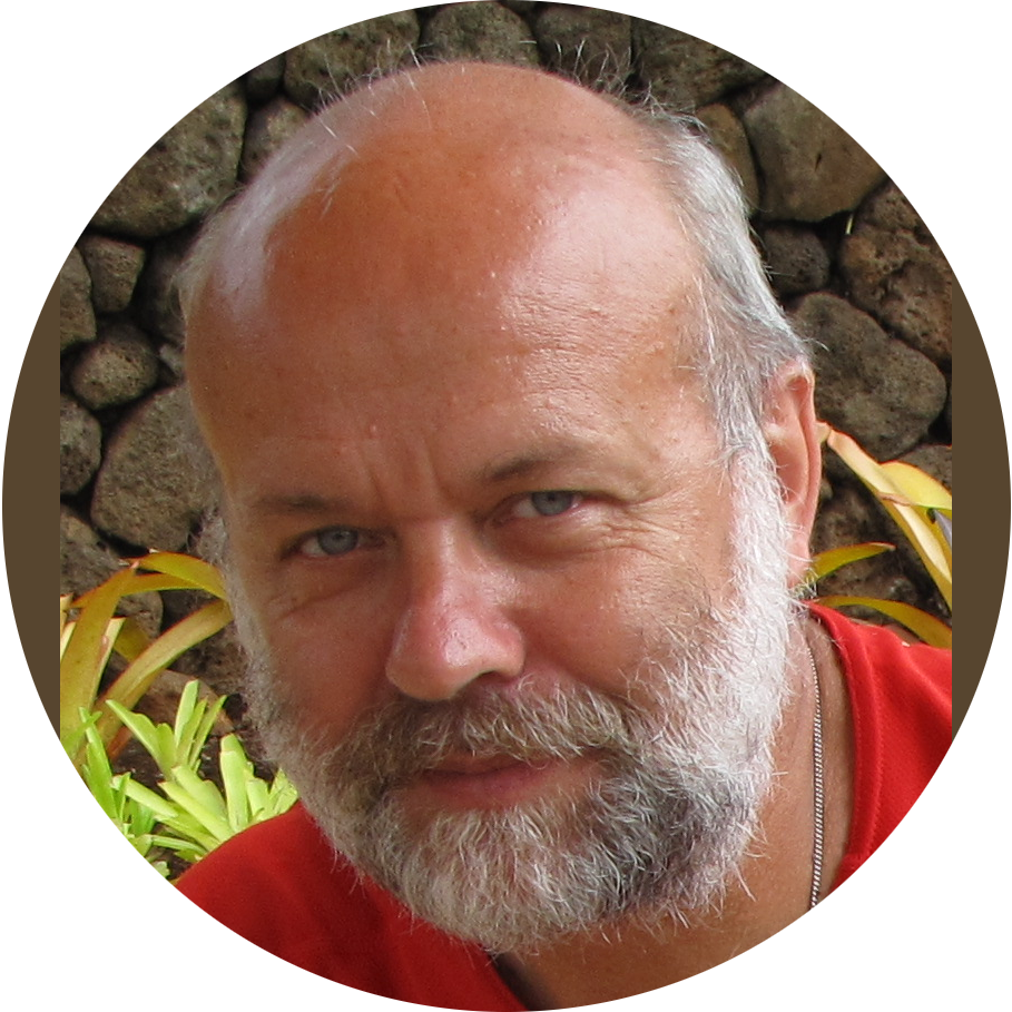
Go to: Keynote 1 (Trevisani) - Keynote 2 (Zwoliński) - Keynote 3 (Tarboton)
Go to: Book presentations - DEMIX presentations
| Sunday, June 8 | |||
|---|---|---|---|
| 19:00 - 20:30 | Icebreaker: let's meet for a drink (venue TBA) | ||
| Monday, June 9 | |||
|---|---|---|---|
| 08:30 - 08:45 | Opening Ceremony | ||
| 08:45 - 09:00 | Greetings | ||
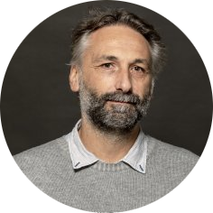
| 09:00 - 09:45 | Keynote: Sebastiano Trevisani | Roughness who? | |
| 09:45 - 10:00 | Peter Guth | Time to Revamp the Slope Algorithm and KISS? | |
| 10;00 - 10:15 | Scott Peckham | Computing Channel Slope from a DEM: A Review of Issues and Two Algorithms | |
| 10:15 - 10:30 | John Lindsay | A minimal dispersion flow algorithm | |
| 10:30 - 10:45 | Daniel Newman and Yuichi Hayakawa | Probabilistic surface change detection with a 2-d array of robust adaptive Kalman filters | |
| 10:45 - 11:15 | Coffee | ||
| 11:15 - 11:30 | Richard Feciskanin and Jozef Minár | DEM Generalization Tool Using Grid-Based Quadric Error metric | |
| 11:38 (short) | Carlos López-Vázquez, Francisco-Javier Ariza-López and Juan-Francisco Reinoso-Gordo | Enriching LiDAR data with partial derivatives and its uncertainty estimates | |
| 11:46 (short) | Antonella Marsico, Rosa Colacicco, Marco La Salandra, Rodolfo Roseto, Teresa Scolamacchia and Domenico Capolongo | Monitoring Badlands Features through TLS and UAV Technology | |
| 11:54 (short) | Francesco Parizia, Walter Alberto, Marco Giardino and Luigi Perotti | Geomorphic evolution of the Miage Lake: a morphometric evaluation of the changes from 2018 to 2024 | |
| 12:02 (short) | Adrian Jarzyna, Maciej Bąbel and Firouz Vladi | Photogrammetry for morphometric analysis of anhydrite-gypsum weathering zones | |
| 12:10 (short) | Veronika Hajdúchová, Hana Bobáľová, Alexandra Benová and Jozef Minár | Towards implementation of segmentation into Physical geomorphometry tools: Case of generalization | |
| 12:18 (short) | Michal Gallay, Jozef Šupinský, Michaela Nováková and Jozef Minár | Extending Physical Geomorphometry into 3D: A Case Study on Domica Cave, Slovakia | |
| 12:26 (short) | Muhammad Muneeb, Andrea Ermini, Riccardo Salvini, Stefano Pucci, Riccardo Civico and Paolo Marco De Martini | Airborne LiDAR survey for Monte Cefalone Fault structural analysis | |
| 12:34 (short) | Mihai Niculita and Nicusor Necula | A critical evaluation of global forest height data for DTM creation | photo |
| 12:45 - 14:30 | Lunch + Posters | ||
| 14:30 - 14:45 | Cheng-Zhi Qin, Liang-Jun Zhu and A-Xing Zhu | Derivation and Applications of Fuzzy Slope Position Information | |
| 14:45 - 15:00 | John Lindsay, Yannan Wang and Marina Coric | Elevation residual analysis with scale mosaics | |
| 15:00 - 15:15 | Yingkui Li, Ian S. Evans and Jonathan M. Harbor | Profile Integral, a robust and unified metric for measuring profile concavity | |
| 15:15 - 15:30 | Jozef Minár, Richard Feciskanin, Michal Gallay and Jozef Šupinský | Advances in theory of physical geomorphometry | |
| 15:30 - 15:45 | Maarten Pronk, Hugo Ledoux and Marieke Eleveld | A qualitative comparison of corrected global DEMs | |
| 15:45 - 16:15 |
Chair: Peter Guth Speakers: Carlos Grohmann, Vincent Lecours, Hannes Reuter (book editors) |
Geomorphometry book: new edition | photo |
| 16:15 - 16:30 | Coffee | ||
| 16:30 - 16:45 | Yu-Feng Ho, Leandro Parente, John Lindsay, Carlos Henrique Grohmann, Hannes Isaak Reuter and Tomislav Hengl | Global Ensemble Digital Terrain model and land relief parameterization at 1 arc-second resolution: a community-based open data service to support regional and global modeling | |
| 16:45 - 17:00 | Alexandre Rétat, Nathalie Thommeret, Frederic Gob, Jean-Stéphane Bailly, Laurent Lespez and Karl Kreutzenberger | Automatic delineation of river centerline using high density topographic LiDAR point cloud. | |
| 17:00 - 17:15 | Marina Muto, Mario Panza, Giulio Iovine, Ivan Marchesini, Mauro Rossi and Massimiliano Alvioli | High-Resolution Digital Terrain Model on a sample area of the Italian national territory | |
| 17:15 - 17:30 | Massimiliano Alvioli and Ivan Marchesini | Automatic optimization and multi-scale delineation of nested slope units with r.slopeunits v2.0 | |
| 17:30 - 17:45 | Petr Basta, Jana Maresova and Vitezslav Moudry | The role of spatial resolution and vertical accuracy of global DEMs in delineating stream networks | |
| Tuesday, June 10 | |||
|---|---|---|---|
| 08:00 - 18:00 | Field trip to Civita di Bagnoregio | Details Here | |
| Thursday, June 12 | |||
|---|---|---|---|
| 09:00 - 09:45 | Keynote - Lifetime Achievement Award: David Tarboton | Reflections on Geomorphometry and Hydrology | |
| 09:45 - 10:00 | Michele Delchiaro, Valeria Ruscitto, Davide Torre, Wolfgang Schwanghart, Daniela Piacentini, Francesco Ballio and Francesco Troiani | Spatio-temporal monitoring of bankfull geometry using a semi-automated tool on high-resolution Digital Terrain Models | |
| 10:00 - 10:15 | Vitezslav Moudry, Katerina Gdulova and Kamila Svobodova | Global Assessment of Mining Activities Using TanDEM-X Digital Elevation Change Maps | |
| 10:15 - 10:30 | Alexander Brenning, Lucca Güldner, Kerstin Schepanski, Michael Dietze and Markus Fuchs | Geomorphic Distribution Modeling of Desert Pavements: Towards a Global Assessment | |
| 10:30 - 10:45 | Veronica Chiarini, Stefano Castelli and Alessandro Fontana | Rocks from the ice: DEMs of subglacial concretions through photogrammetry | |
| 10:45 - 11:15 | Coffee | ||
| 11:15 - 11:30 | Anton Popov and Jozef Minár | Application of Physical Geomorphometry in Digital Geomorphological Mapping | |
| 11:30 (short) | Barbara Rigon, Sandro Rossato, Giacomo Vinci, Paolo Mozzi and Stefano Castelli | Soil Erosion And Intensive Agriculture (Lessini Veronesi, NE Italy): Multi-Temporal Modelling On DEMs From Photogrammetry And Lidar | |
| 11:38 (short) | Lucia Contillo, Giusy Dimola, Giuseppe Corrado and Marcello Schiattarella | A comparative study of mass movement morphometry in two adjacent watersheds of southern Italy | |
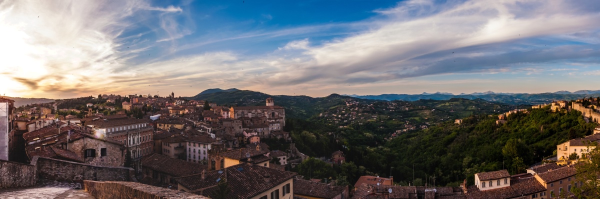
| 11:46 (short) | Laura Paola Calderon Cucunuba, Laura Melelli, Fabio Silvani, Luca Domenico Venanti and Massimiliano Alvioli | Modeling Pre-Anthropogenic Topography: A Reconstruction in the Perugia Center Using Subsoil Data | |
| 11:54 (short) | Maksymilian Solarski, Mariusz Rzętała, Robert Machowski and Martyna A. Rzętała | The use of historical cartographic materials and contemporary lidar models to determine changes in terrain relief in hard coal mining area (Bytomka Catchment, Southern Poland) | |
| 12:02 (short) | Arianna Negri and Marco Giardino | Integrating Geosystem Services classifications: a preliminary framework from the piedmont area of the Sesia Val Grande UNESCO Global Geopark | |
| 12:10 (short) | Alfonso Valerio Ragazzo, Giuliano Fontinovo, Giorgio Pennazza and Alessandro Mei | Digital Elevation Models retrieval from optical/LiDAR sensor data in a Coastal Dune Systems: geospatial analysis for environmental monitoring | photo |
| 12:18 (short) | Dario Gioia, A. M. Amodio, N. Abate, A. Ascione, P. P. C. Aucelli, M. Buonasera, C. Cerrone, L. Contillo, R. Colacicco, G. Corrado, M. Delchiaro, M. Della Seta, G. Di Paola, G. Fubelli, A. Gionta, F. Matano, F. Pavano, V. Ruscitto, M. Schiattarella, C. Scirocco, F. Silvani, E. Valente | Coupling UAV-derived Lidar and geophysical data for the reconstruction of high-resolution 3D model of active faults: an example from the Piano di Pecore intramontane basin (Mt. Marzano, southern Italy) | |
| 12:26 (short) | Andrei Ioniță and Lucian Drăguț | Introducing the Geomorphometric Atlas of Romania: A Publicly Available Database of Landform Classifications and Land-Surface Variables based on FABDEM | |
| 12:30 - 14:30 | Lunch + Posters | ||
| 14:30 - 14:45 | Axel Corseaux, Kévin Gross and Serge Riazanoff | Activities of the DEMIX Subgroup 3 "Platforms and Processing" | |
| 14:45 - 15:00 | Peter Guth and Virginia Herrera-Cruz | Developing Methodologies to Extend DEMIX to 5m (0.15 arc second) Global DEMs | photo |
| 15:00 - 15:15 | Carlos López-Vázquez | Formal weaknesses of some definitions of roughness, and a solution proposal | |
| 15:15 - 15:45 |
Additional DEMIX presentations (more info about DEMIX here) Conrad Bielski: A short review of the DEMIX report Peter Guth: Update on MICRODEM in DEMIX (PDF) Carlos López-Vázquez: Update on some accuracy and uncertainty topics in |
||
| 15:45 - 16:00 | Coffee | ||
| 16:00 - 17:00 | ISG PLENARY MEETING | ||
| 17:00 - 17:30 | Paper & poster awards | ||
| 17:30 - 19:00 | Side event: AIGeo Working Group meeting | ||
| 20:00 | Social Dinner | ||
| Friday, June 13 (workshops) | |||
|---|---|---|---|
| 09:00 - 10:50 |
Corey White, Caitlin Haedrich: Propagating DEM Uncertainty to Stream Extraction using GRASS GIS (abstract) |
||
| 10:50 - 11:10 | Break | ||
| 11:10 - 13:00 |
Giuseppe Amatulli: Generating hydrographic products with GRASS GIS: A hands-on workshop on the Hydrography90m methodology (abstract) |
||
| 13:00 - 14:00 | Break | ||
| 14:00 - 15:50 |
Nawajish Noman (Esri): Geomorphometry with ArcGIS Pro and ArcGIS Online (abstract) |
||
| 15:50 - 16:10 | Break | ||
| 16:10 - 18:00 |
Axel Corseaux: DEMIX Operations Platform (abstract) |
||
| 10:00 - 13:00 | Side event: DEMIX / CEOS-TMSG meeting (sala Dessau) | ||