
Topics of Geomorphometry 2025
- High-resolution data: LiDAR and photogrammetry
- High-resolution data: satellite imagery
- New geomorphometric algorithm
- Automated surface analysis
- Planetary morphometry
- Earth surface changes and dynamics
- Geomorphometry & climate change
- Extreme processes and natural hazards on the Earth surface
- Marine Geomorphometry and bathymetry data
- Geomorphometry for urban areas
- Geodiversity and cultural heritage
- Professional and industrial applications
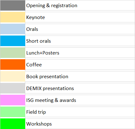
Daily Schedule
Time is in Italian local time: CEST (Central European Summer Time) UTC/GMT +2 hours
 |
 |
Please refer to this page for a detailed program