Topics of the conference:
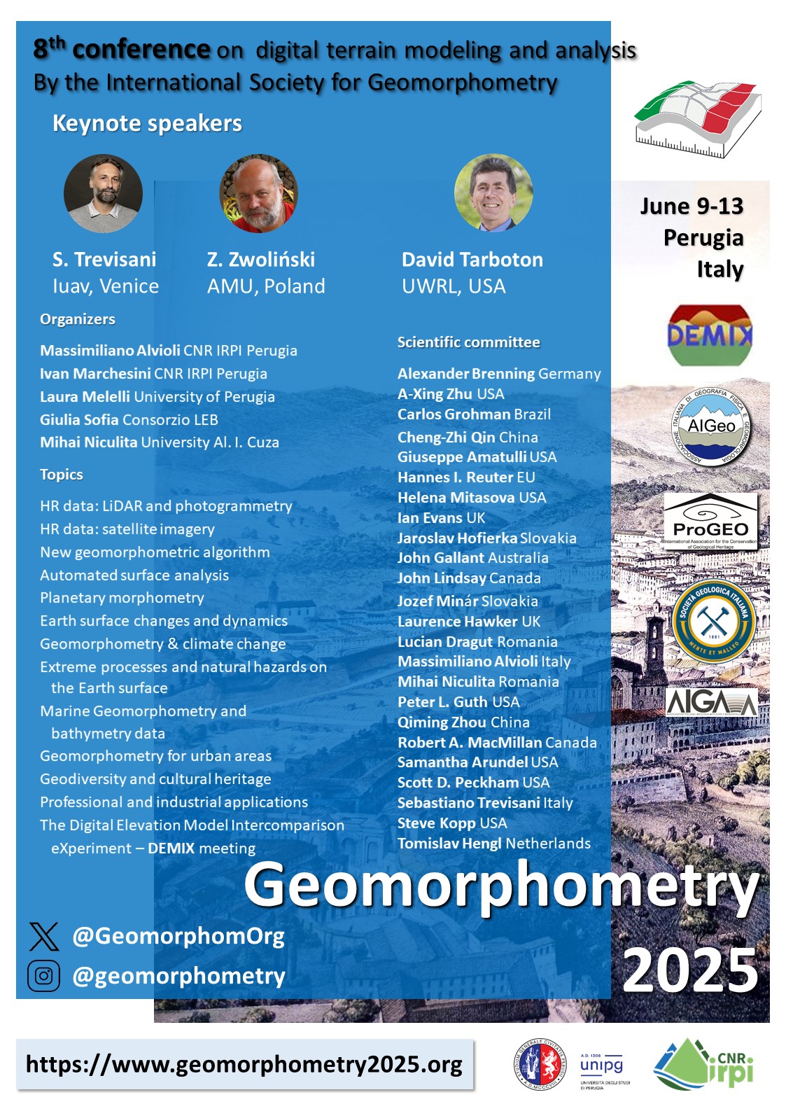
- High resolution data: LiDAR and photogrammetry
- High resolution data: satellite imagery
- New geomorphometric algorithm
- Automated surface analysis
- Planetary morphometry
- Earth surface changes and dynamics
- Geomorphometry & climate change
- Extreme processes and natural hazards on the Earth surface
- Marine Geomorphometry and bathymetry data
- Geomorphometry for urban areas
- Geodiversity and cultural heritage
- Professional and industrial applications
- The Digital Elevation Model Intercomparison eXperiment – DEMIX meeting
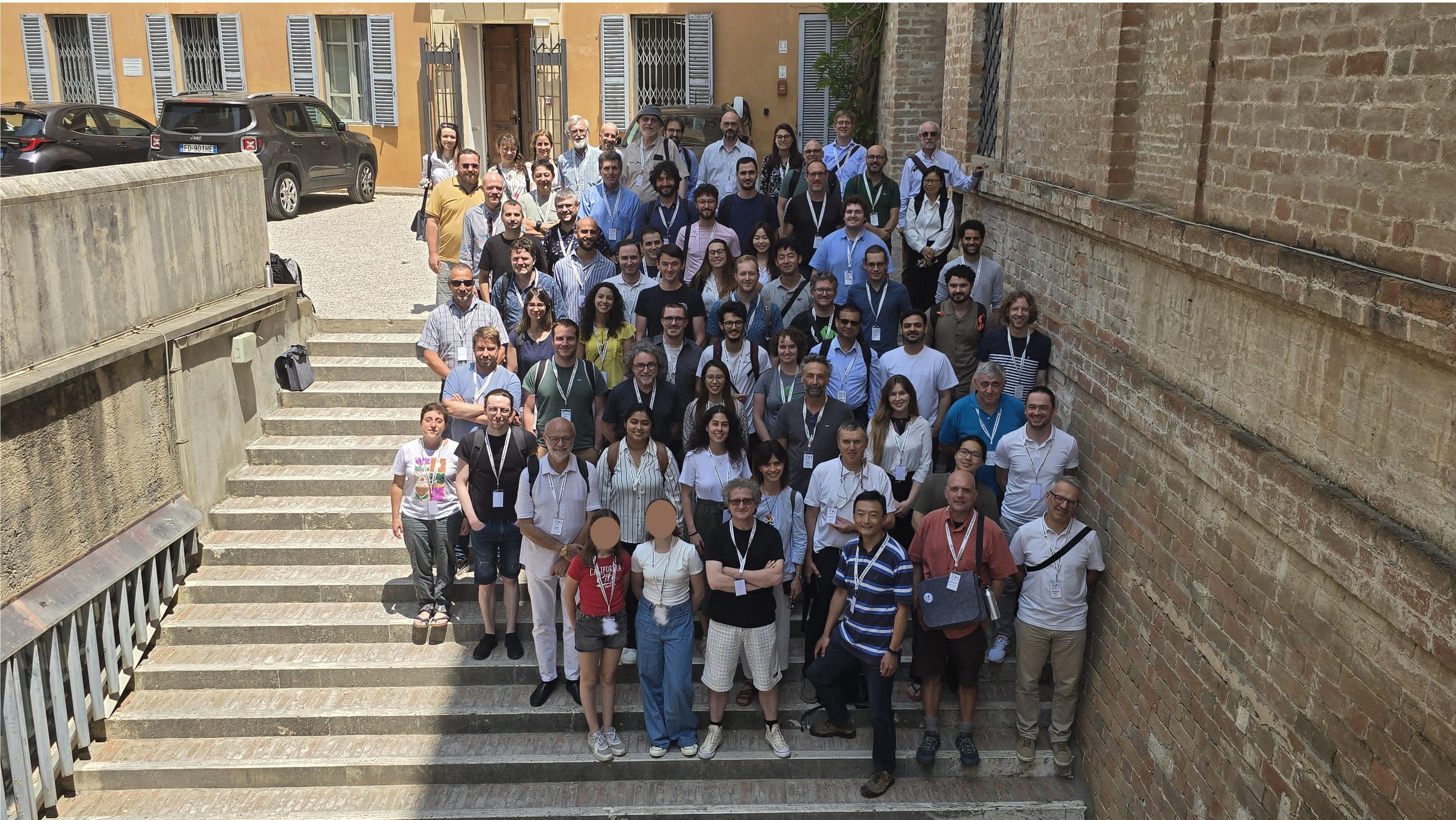
1st row from the bottom: M. Alvioli, C.-Z. Qin, G. Amatulli, C.A. Brunori 2nd row: V. Chiarini, A. Corseaux, Z. Zwolinski, N. Sarkar, M. Burnelli, L. Melelli, M. Giardino, H.-F. Ho 3rd row: M. Solarski, K. Gross, J. Wilson, T.M. Nguyen, S. Trevisani, E. Tarasova, C. López-Vázquez, R. Feciskanin 4th row: H. Reuter, R. Scuncio, L. Contillo, D. Newman, C. Villaça, C. Haedrich, N. Noman, M. Muneeb, J. Goetz 5th row: S. Peckham, M. Delchiaro, F. Silvani, A. Jarzyna, A. Negri, M. Pronk, C. Haoyou, C. White, A. Ionita, P.A.P. Zamboni 6th row: V. Moudry, V. Lecours, F. Parizia, A. Popov, T. Bornaetxea 7th row: M. Niculita, P. Basta, M. Materazzi, D. Tarboton, S. Mancino, N. Necula, A. Brenning, S. Romeo, C. Luu Top row: V. Hajdúchová, A. Benová, H. Bobáľová, I. Evans, F. Strohmaier, J. Minar, G. Titti, C.H. Grohmann, P. Mazzoglio, J. Lindsay, I. Marchesini, P. Guth |